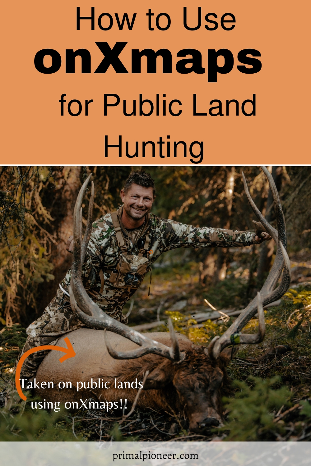
Hunting on public lands can be challenging, but you can successfully hunt on almost any public land with the right tools. Let’s break down how to use onXmaps for public land hunting. Be sure to check out some of our other public land hunting resources, too!

What is onXmaps?
onXmaps is a web-based mobile app service that provides maps and GPS data for hunters, fishermen, and other outdoor enthusiasts. The website offers a variety of map products, including topographic maps, satellite imagery, and even 3D maps. onXmaps also offers a variety of tools and features to help users plan their outings, such as trip planning and tracking, weather data, and more. But does onXmaps technology work for hunting on public lands, and if so, how can you use it?
The five layers to use when hunting public lands
onXmaps makes it possible for public land hunters to find available public lands. Thanks to their interactive design, you can simply select sectioned map layers to find federally and state-managed lands. Examples of available layers are:
- Government Lands Layer – This layer clearly highlights all state, tribal, and federal public lands. However, be sure to check the hunting regulations before you show up.
- GMU Layer – Activating this layer will parcel out sections of the map to show private vs. public areas. It’s useful if you already have an idea of where you’ll be hunting.
- Partner Layers – Such as RMEF and, NWTF, USFWS hunt areas.
- Private Lands Layer – If you’re out in the woods and worry that you’re passing into private territory, this layer can quickly set you back on course by highlighting nearby private properties.
- State-Sponsored Land Access Layers – This final layer shows all state government-run lands. They are also highlighted under the Government Lands Layer, but this layer is specific to state-managed territories. State-specific layers are available with the Elite Membership.
These layers can be accessed and toggled in the onXmaps mobile app. Download it today and start planning your next hunt.
How we use onXmaps with our public land hunts
- Turn on the private land layer and use those property lines to your advantage. Hunt the property lines and work to call animals over to the public land sector.
- Mark waypoints when scouting or after a kill shot to keep track of important locations.
- Use the tracking feature as you scout or hunt. This will track your path, which we call the “digital rope.” It’s a great tool to use to find your way back to your starting point. You can see our “digital rope” or tracked route in the video below with the blue lines.
- Use onXmaps for e-scouting. We look for elevation changes to identify saddles, ridges, and draws. We also look for dark timber areas, watering spots, and bedding areas. We mark those on our map to explore them when either hunting or scouting the land in person. For example, I marked several elk wallows when e-scouting with onXmaps and then found them in the exact location I had marked them once I started hunting.
- Use the wind and weather features to track both for a successful hunt.
It’s quickly becoming one of the most popular mapping technologies for hunters thanks to its interactive mapping features and ability to clearly display open territories, even when you’re outside of cell service. Pro tip: to successfully use onXmaps outside of cell service, you’ll want to save your maps ahead of time.
Helpful items for successful public land hunting
Primal Pioneer participates in the Amazon affiliate program. Please see my affiliate disclaimer. As an Amazon Associate, I earn from qualifying purchases.
Additional public land hunting resources
- 7 Tips for Hunting Elk on Public Land in Colorado
- 6 Resources for Planning your First DIY Colorado Public Land Elk Hunt
The Bottom Line
onXmaps is an excellent resource for hunters looking to find available public lands. By activating specific layers, you can clearly highlight tribal, state, and federal territories and then check hunting regulations in those areas. Try it out today and see the difference it makes!

Primal Pioneer is a food blog and public land hunting resource by Mike and Jennifer Shreckengost. We’re a husband and wife team who combined their two passions – a love of the outdoors and food – into a joint effort with Primal Pioneer! You’ll find resources on planning and executing your own DIY over-the-counter public land big game hunt, along with wild game recipes featuring mostly venison and elk.
